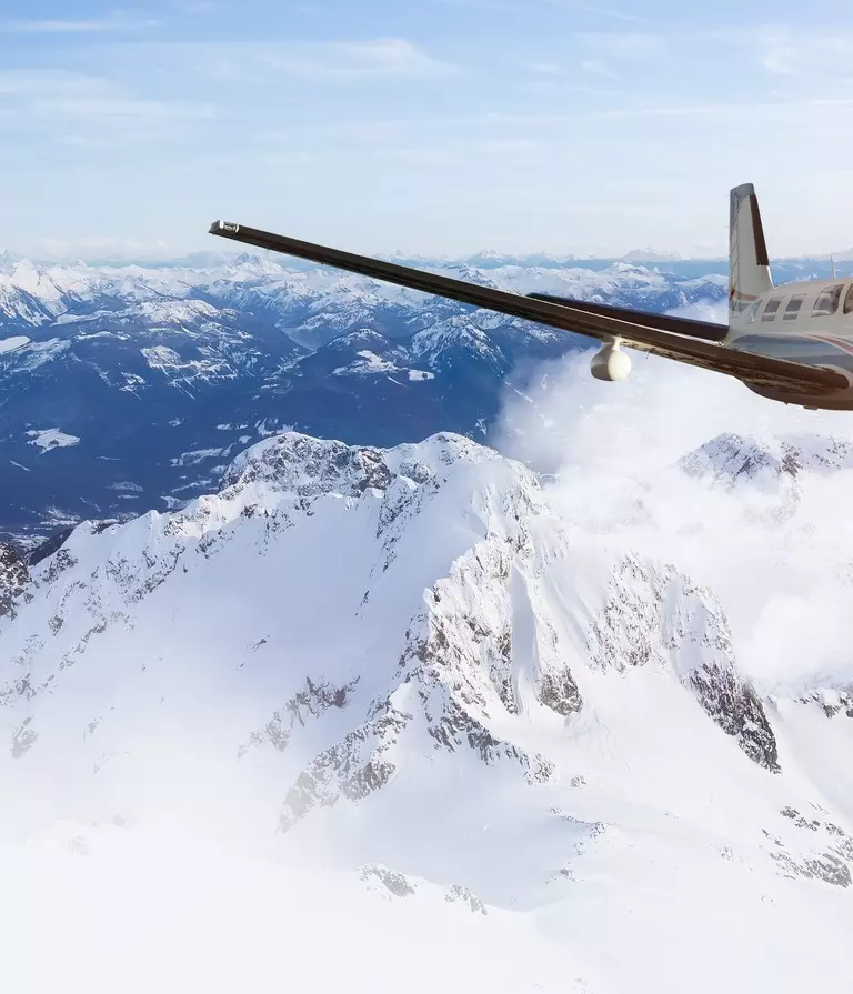
Lidar solutions for UAV, helicopters, and fixed-wing planes. Featuring advanced processing in real-time on the edge, in the cloud or on premise.

Over the last 50+ years, Teledyne OPTECH has proven that airborne surveying offers many advantages for acquiring spatially-located data across large areas. From an aircraft’s vantage point, sensors capture wide areas of terrain such as cities, forests and farmlands, or long corridors such as power lines, railways and rivers. Airborne sensors also have the speed and flexibility to survey many square kilometers in a single flight, even over rough or inaccessible terrain.

Lightweight, high-resolution lidar solution engineered for rapid deployment and accurate mapping.

The world's fastest, most intuitive aerial topo-bathy coastal mapping solution. Featuring real-time QC and fast post-processing.

Long-range and lightweight. The secure, lightweight real-time airborne laser scanner.

Real-time with an edge. The highest resolution airborne lidar with edge computing.

Compact and powerful UAV Solution. Introducing Teledyne OPTECH'S new survey-grade UAV laser scanning payload.

Powerful topographic/hydrographic mapping lidar solution. Simultaneous high-resolution 3D data and imagery of coastal topography.

Designed to meet the time constraints for electric utilities, Network Surveyor combines unmatched lidar technology with edge processing to deliver actionable data in near real time.
Search for your nearest Teledyne OPTECH office location.
Contact our dedicated ream of technical support specialists anywhere, any time.
Contact sales and request further information about Teledyne OPTECH products and solutions.