
Powerful topographic/hydrographic mapping lidar solution. Simultaneous high-resolution 3D data and imagery of coastal topography.

Combining the sensor technology of Teledyne OPTECH with data processing powerhouse Teledyne CARIS, CZMIL SuperNova is the next generation topo/bathy lidar system. Equipped with the most powerful green laser on the market, Supernova provides maximum depth penetration, superior coverage in turbid waters, and better than double the point density of CZMIL Nova.

CZMIL SuperNova can be programmed for maximum performance in a wide range of environments: topographic, inland waterways, coastal beaches, coral reefs and deep-water marine. Full waveform capture of land and water opens the door to a variety of data products beyond elevation and depth, such as object detection, water clarity maps, seafloor reflectance and vegetation maps (both on land and submerged).
Data is processed in CARIS BASE Editor software and leverages AI based techniques for land / water discrimination and noise classification. The CARIS processing tools open the door to a full range of processing options from datum shifts to full waveform display and editing to the creation of enhanced information products in a wide variety of formats.
Find out more about the CZMIL SuperNova multi-sensor airborne system, benefits, data processing capability and its survey application flexibility.
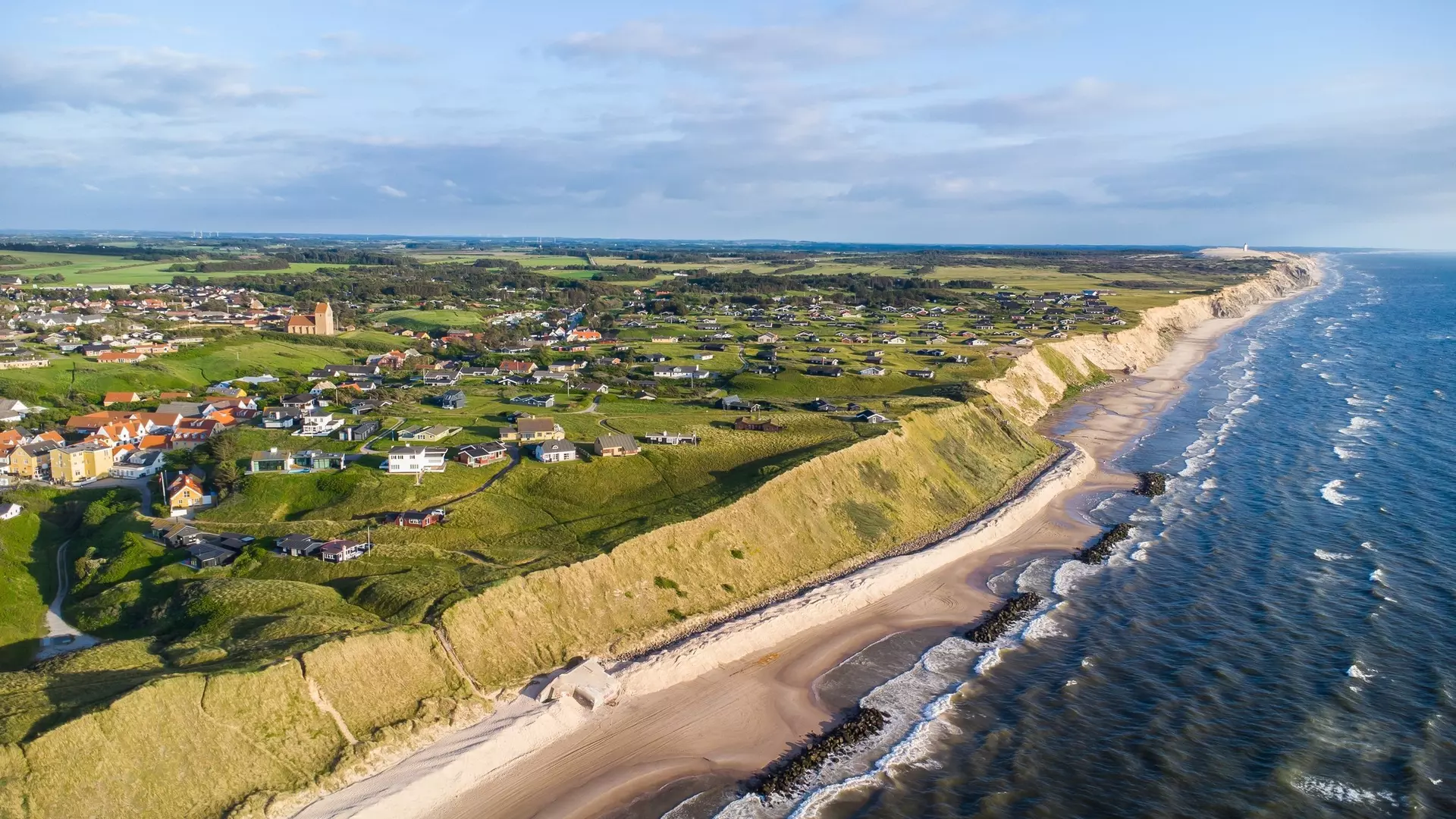
The CZMIL SuperNova offers a range flexibility for coastal surveying:
| Brochures | |
|---|---|
| CZMIL SuperNova | View and Download the CZMIL SuperNova brochure. |
| Think Big for Coastal Mapping | Discover the efficiencies of airborne bathymetric lidar - Hydro International. |
Search for your nearest Teledyne OPTECH office location.
Contact our dedicated ream of technical support specialists anywhere, any time.
Contact sales and request further information about Teledyne OPTECH products and solutions.