
Lightweight, high-resolution lidar solution engineered for rapid deployment and accurate mapping.

Stratus is a lightweight, high-resolution lidar solution engineered for rapid deployment and accurate mapping. With advanced zoom capabilities, it delivers exceptional single-pass point density making it ideal for applications such as right-of-way corridor mapping, vegetation management, pole detection and more. Operating at altitudes up to 1200 meters, Stratus supports efficient wide-area coverage with fast turnaround times. Weighing just 8 kilograms, it's perfectly suited for hatch or pod installations on lightweight aircraft, helicopters and large UAVs.
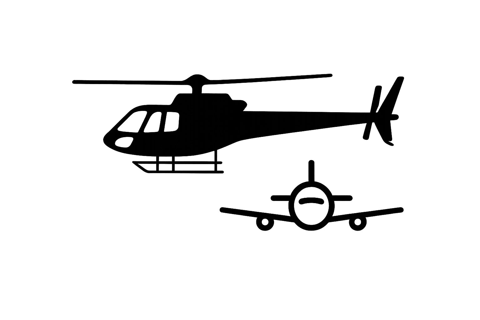
Only 8kg, suitable for fixed wing aircraft, helicopters and drones.

Altitude performance supporting low altitude inspection to classic wide area missions.

True 2 million points per second and field of view zoom delivering highest single-pass densities.


Connect with our Airborne Lidar experts and request a sample of Stratus data
| Brochures | |
|---|---|
| Stratus Brochure | View and Download the Stratus brochure. |
Search for your nearest Teledyne OPTECH office location.
Contact our dedicated ream of technical support specialists anywhere, any time.
Contact sales and request further information about Teledyne OPTECH products and solutions.