Vaughan, Ontario, CANADA – November 9, 2021 – Teledyne Geospatial will exhibit the latest hardware and software solutions in lidar survey and mapping at Geo Business 2021, being held at the ExCeL, London, UK, November 24 and 25.
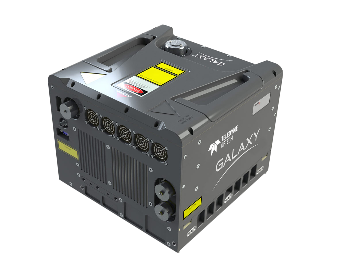
At booth D66 Teledyne Geospatial will feature its versatile Optech Galaxy airborne laser terrain mapper, designed to handle projects in wide area and corridor mapping. Learn about the Optech CZMIL Super Nova, the world’s most advanced lidar bathymeter with the the highest green laser point density in its class and real-time processing capability for reduced post-processing time. Visitors to the booth can also find out how the Optech CL-360 compact lidar enables OEM hardware manufacturers and integrators to develop the next-generation of best-in-class UAV, mobile, and terrestrial scanning solutions for a wide variety of applications.
Find out how Teledyne Geospatial is underpinning its airborne lidar sensor workflows with CARIS Mira AI software to classify noise and reduce processing times providing efficiencies in project delivery.
Presentations by Teledyne and their partners:
Teledyne Geospatial unifies the hardware and software expertise of both Teledyne CARIS and Teledyne Optech. The new group provides customers with innovative integrated solutions. Offerings include turnkey systems, lidar and sonar integrated workflows and a range of systems and solutions that support holistic, precision data collection.
For media enquiries, please contact:
Jennifer Parham
[email protected]
