Vaughan, Ontario, CANADA – September 1, 2022 – Teledyne Geospatial is pleased to announce the sale of its Optech Galaxy PRIME to Fototerra, an aerospace and service company that specializes in airborne remote sensing services, geographic data acquisition, high-resolution photogrammetry, hyperspectral data acquisition, and GIS applications in North and South America. Fototerra’s new Galaxy PRIME will be deployed across multiple applications, including forest inventory, agriculture, urban mapping, and surveying carbon mapping of archeological sites in the Amazon region.
Teledyne’s Galaxy PRIME packs more power and accuracy into a tiny footprint than any other sensor. Its patented PulseTRAK™ and SwathTRAK™ technologies make surveying simpler than ever with feature sets that maximize productivity, increase information content, and reduce overhead costs. Unique to the industry, SwathTRAK delivers improved efficiencies and cost-savings with an estimated 40% reduction in flight lines, especially in mountainous or hilly terrains. Fototerra’s plans include high-resolution mapping in urban city cores, for forest and environmental monitoring in the Amazon.
“We are excited to leverage the many survey efficiencies provided by the Galaxy PRIME,” commented Luis Lima, CTO of Fototerra. “We pride ourselves on delivering cost-effective, high-quality data to our customers, and with this new state-of-the-art lidar solution, we are well supported to grow not only our own business, but the businesses of our customers at the same time.”
Teledyne Geospatial Vice-President of Sales and Marketing, Jean-Jacques Dupont commented, “We are pleased to provide our long-time partner Fototerra, with the Galaxy PRIME. This system will extend their capacity for the highest fidelity aerial data. The Galaxy PRIME will uniquely position Fototerra in South America to efficiently deliver precision projects for critical applications – from archeological discovery to environmental monitoring to urban planning.”
Teledyne Geospatial unifies the hardware and software expertise of both Teledyne CARIS and Teledyne Optech. The new group provides customers with innovative integrated solutions. Offerings include turnkey systems, lidar and sonar integrated workflows and a range of systems and solutions that support holistic, precision data collection.
For media enquiries, please contact:
Jennifer Parham
[email protected]
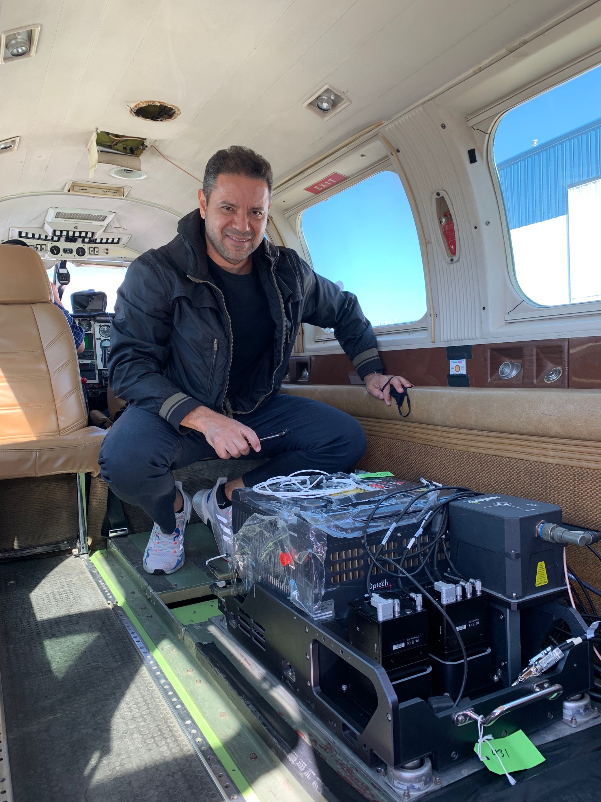
Fototerra CTO Luis Lima with his new Galaxy installed in a plane