Optimize your survey missions by reducing flight time and costs, ensuring data quality, and enabling real-time mission planning and sensor parameter adjustments.

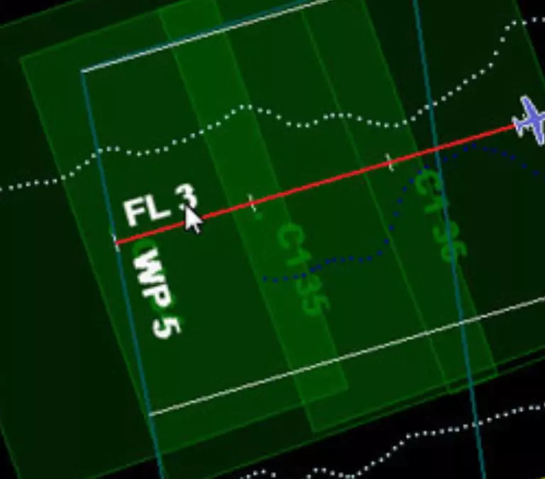
Teledyne OPTECH FMS is an integrated workflow tool that handles flight planning, multiple sensor system control and monitoring, and navigation in one convenient package. It gives you real-time in-air information on your lidar/camera survey mission - as it happens. By moving many post-flight data verification processes into the air at the time of data collection, Teledyne OPTECH FMS enables you to make real-time decisions quickly and competently while still airborne. Now you can deliver on demand high-accuracy LAS point clouds for emergency and rapid response applications.
Teledyne OPTECH FMS is fully compatible with Galaxy, Orion and Pegasus ALTMs as well as Teledyne OPTECH CS-series cameras.
See how FMS can help you manage your survey operation by providing real-time feedback on your mission performance. Watch the video below to see it in action.
Search for your nearest Teledyne OPTECH office location.
Contact our dedicated ream of technical support specialists anywhere, any time.
Contact sales and request further information about Teledyne OPTECH products and solutions.