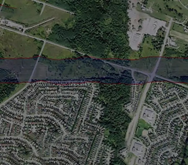
Airborne Mission Manager (AMM) is an integrated workflow tool that handles flight planning, multiple sensor system control and monitoring, and navigation in one convenient package.

Teledyne OPTECH Airborne Mission Manager (AMM) is our advanced survey planning tool allows you to create, display, and edit survey plans both graphically and manually, with the ability to import maps and files as needed. It offers independent control over flight line parameters and sensors, supports wide-area and corridor-based planning methods, and enables simultaneous DEM-based mission planning for lidar sensors with up to four cameras. Additionally, it features various camera trigger modes, a solar calculator for sun zenith angle planning, and comprehensive nadir and oblique camera planning capabilities.
Search for your nearest Teledyne OPTECH office location.
Contact our dedicated ream of technical support specialists anywhere, any time.
Contact sales and request further information about Teledyne OPTECH products and solutions.