
Real-time with an edge. The highest resolution airborne lidar with edge computing.

Galaxy Edge is the latest generation of the award-winning airborne lidar solution. Galaxy Edge delivers high-resolution data with the most efficient acquisition in steep terrain resulting in both lower carbon footprint and collection costs by 20-50%. Consistently delivering unmatched performance in variable terrain, compatible with fixed-wing, pressurized aircraft, drone or helicopter platforms. Real-time processing powered by Onboard delivers lidar point clouds for immediate use upon landing.
Galaxy Edge now delivers straight and parallel scan lines
Uniform point spacing across the swath streamlines and cost-optimizes flight planning.
Galaxy Edge delivers more scanlines on the ground
Higher resolution of smaller objects like electric wires, poles, and street signs.
Galaxy Edge cuts atmospheric noise providing a clearer image
Reduces atmospheric noise and intensive labour delivering cleaner data, faster.
Galaxy Edge automatically compensates for airplane deviations and terrain changes
Reduces operational costs through ~50% reduction in flight lines and reflight.
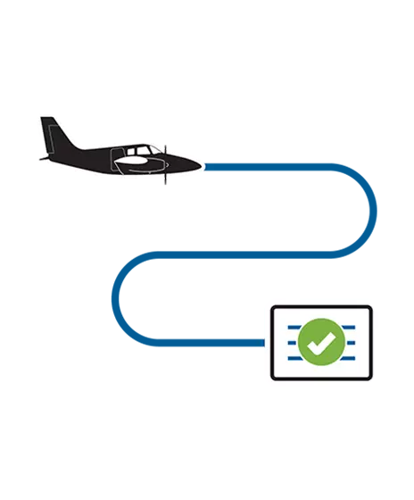
Onboard processes and quality controls point cloud data instantaneously while in flight
Real-time QC allows issues to be actioned immediately in the air, reducing standby and rework costs. Full-resolution point cloud available on landing, delivering rapid answers for time-sensitive applications and disaster response.
Onboard delivers real-time point clouds with <10cm relative and <15cm absolute accuracy.
Bypasses processing and logistical delays and enables LAS data to be ingested directly into any production environment for classification, analysis, and same day delivery.
Breakthroughs in Airborne Mapping Efficiency power by Galaxy SwathTRAK. Discover the features and benefits of Galaxy Edge - watch the video to learn more.

Powered by Galaxy Edge
Discovery how Galaxy Edge powers Network Surveyor for utility providers and how it combines unmatched lidar technology with edge processing to deliver actionable data in near real time.
Learn more| Brochures | |
|---|---|
| Galaxy Edge Brochure | View and Download the Galaxy Edge brochure. |
| Galaxy Edge+ Brochure | View and Download the Galaxy Edge+ brochure. |
| Onboard Brochure | View and Download the Onboard brochure. |
| Eyes in the Sky | Why Galaxy is superior for Helicopter Operations - RotorHub Magazine |
| SwathTRAK | Efficient Surveying in Colorado's Rugged Landscape - Heights Magazine |
| SwathTRAK Datasheet | View and Download the SwathTRAK datasheet. |
| Legacy Models | |
|---|---|
| Galaxy T2000 Brochure | View and Download the Galaxy T2000 brochure. |
| Galaxy Prime+ Brochure | View and Download the Galaxy Prime+ brochure. |
| Galaxy Prime Brochure | View and Download the Galaxy Prime brochure. |
| Galaxy Brochure (Portuguese) | View and Download the Galaxy brochure in Portuguese. |
| Galaxy Brochure (Spanish) | View and Download the Galaxy brochure in Spanish. |
Search for your nearest Teledyne OPTECH office location.
Contact our dedicated ream of technical support specialists anywhere, any time.
Contact sales and request further information about Teledyne OPTECH products and solutions.