March 20th, 2018 — Teledyne CARIS and Teledyne Optech are pleased to announce their combined presence at the 2018 Joint Canadian Hydrographic and National Surveyors Conference in Victoria, British Columbia, March 26-29. Visitors interested in the latest in ocean mapping software, and the swift progress taking place in lidar surveying and mapping solutions can drop by booth 407 to learn more.
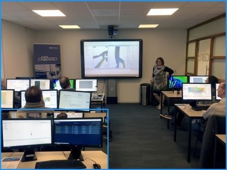
Teledyne CARIS is offering a half-day workshop on March 26th at 1pm. Learn about the new, simplified processing workflow found in HIPS and SIPS™, capabilities and opportunities which can be leveraged through Bathy DataBASE™, and advances in automated data processing with CARIS Onboard™.
Be sure to catch our team of experts speaking in the Victoria Convention Centre’s Lecture Hall:
Teledyne Optech will be at hand to discuss the advantages of Optech CZMIL Nova, the world’s most advanced airborne lidar bathymeter, which can measure up to 70 meters deep in clear water and penetrate turbid waters better than any other lidar bathymeter.
Visitors can also learn about Optech Titan, the world’s first commercial multispectral airborne lidar, equipped with a water-penetrating green channel and two infrared channels, to map both land and shallow coastal waters efficiently in the same flight. The Optech Polaris terrestrial laser scanner now operates from small watercraft, making it an excellent low-cost tool for mapping shorelines, checking oil rig stability, and surveying the underside of bridges.
About Teledyne CARIS and Teledyne Optech
With over 70 years of combined experience as leaders in the geospatial realm, Teledyne CARIS and Teledyne Optech offer a comprehensive and powerful data fusion solution using the latest lidar and software capabilities to capture and visualize incredible datasets from ocean floor to mountain top.
For further information, please contact your Regional Sales Manager or:
|
Andy Hoggarth |
Wayne Szameitat |