Log in | Create profile

Polaris

Terrestrial laser scanner (TLS) series

Static 3D Products

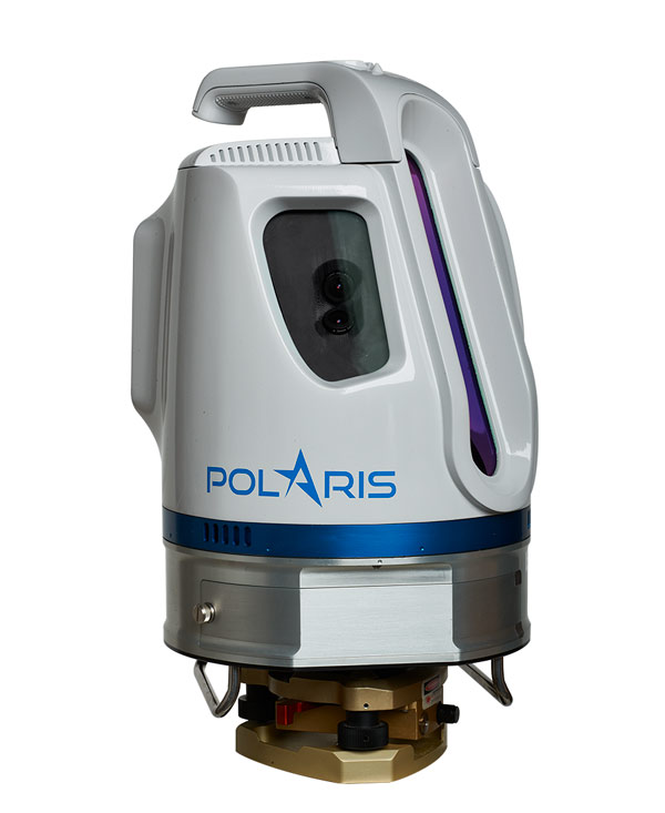
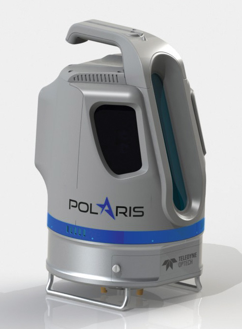
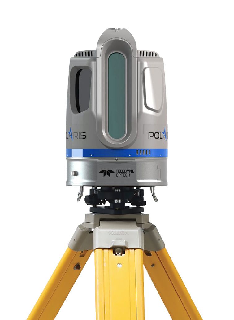
With an integrated high-resolution camera, inclinometers, compass, GPS receiver, and weather-proof housing, the Polaris can be deployed in many environments and orientations. Whether on a tripod, vehicle, or moving platform, the outstanding performance of the Polaris makes it the most versatile terrestrial laser scanner on the market. Owners can select from three possible range modes to get a system that fits their needs: the high-speed HD mode, now embedded on the flexible Polaris ER, and the long-range Polaris LR. The Teledyne Optech Polaris TLS delivers accurate, precise data faster than ever before, bridging the gap between small, light-weight, short-range sensors and large, long-range, pulsed time-of-flight scanners. Built with surveyors in mind, the Polaris TLS has a user-friendly on-board operator interface with menu-driven operations, plus all the built-in features needed for quickly collecting and referencing data.

Polaris Advantages

  • Survey-grade data with sub-centimeter accuracy and high angular resolution
  • Long-range surveying available to everyone at a low price point
  • One-button surveying of prearranged plans for untrained operators
  • Wide areas captured in a single scan by 360°×120° field of view
  • Short setup time with in-field geo-referencing tools and automatic target recognition
  • Rapid surveys thanks to high-speed data acquisition
  • Easy extraction of meshes, features and models with ATLAScan software

Polaris Features

  • 100% scanner efficiency
  • Internal data storage
  • Internal camera
  • External camera option
  • Sunlight-visible touchscreen
  • Weather-proof housing
  • Automatic target recognition
  • User-friendly workflow
  • Project planner
  • Multiple lidar returns
  • Tilt compensation
  • GPS receiver

Polaris Applications

  • Civil Engineering
  • Construction
  • Transportation
  • Heritage
  • Mining
  • Forensics
  • Forestry
  • Coastal Management
  • Shoreline Mapping
  • Scientific Research

Videos

Photos

Product Tour

Questions? Quotes? Contact sales.