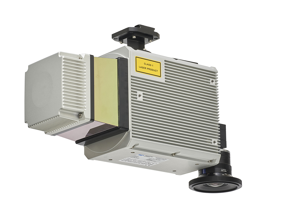
The Optech CLS-A is Teledyne Geospatial’s new survey-grade UAV laser scanning payload. The CLS-A enables the highest quality surveying and inspection applications where the tight integration of a powerful, narrow beam divergence laser, high accuracy kinematic IMU, calibrated camera and powerful post-processing software provides for wide area operation at the maximum operating altitude of UAVs.
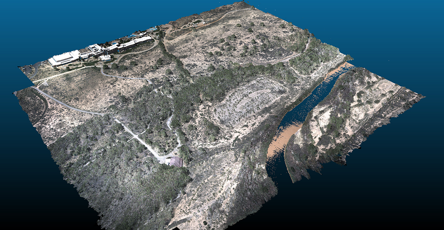
The high precision and accuracy of the CLS-A provides the accuracy required for hard surface engineering grade applications
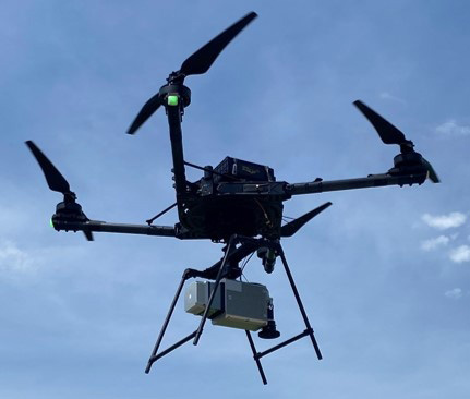
The CLS-A can be operated from 120m agl and still collect data from the floors of pit mines and valleys.
Narrow beam divergence, long range, wide scan angle, and multiple returns all enable the CLS-A to collect ground returns through dense vegetation.
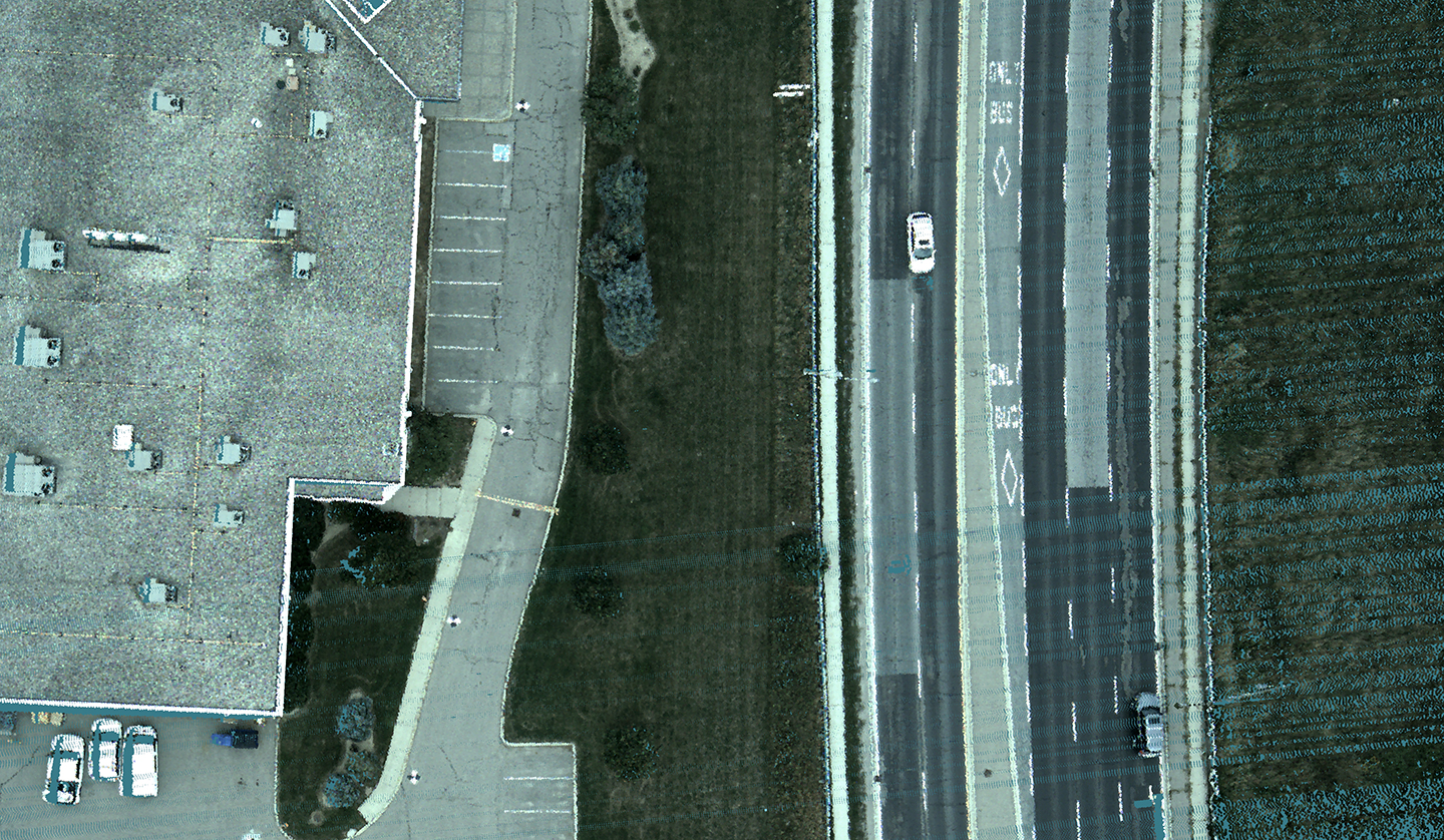
The CLS-A has a calibrated non-mechanical global shutter camera to colorize the point cloud and aid in point cloud analytics.
Data from the CLS-A is processed through the proven workflow of LMS Profession and Applanix Pospac.
The CLS-A is manufactured and supported in Canada.

| Document | Type |
|---|---|
| CLS-A Datasheet |